Latest Generation Technology for Mining Exploration in Peru
“Transforming geological data into mineral discoveries.”
Geocatmin.com is a geological intelligence and mining exploration consulting company that helps mining companies, investors, concession holders and exploration teams to identify and evaluate mineral opportunities more quickly, precision and efficiency. Try our software: Geosatmin.com
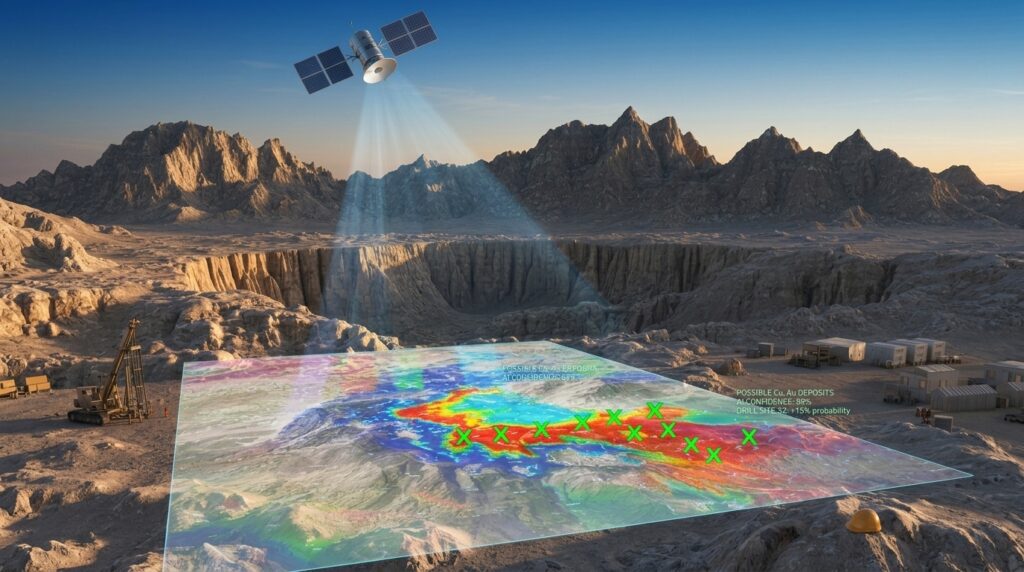
Our approach integrates artificial intelligence, official geological databases, satellite images, GIS analysis, metallogenetic interpretation, remote sensing, cadastral information and planning of field campaigns, generating strategic information that facilitates decision making in mining exploration projects.
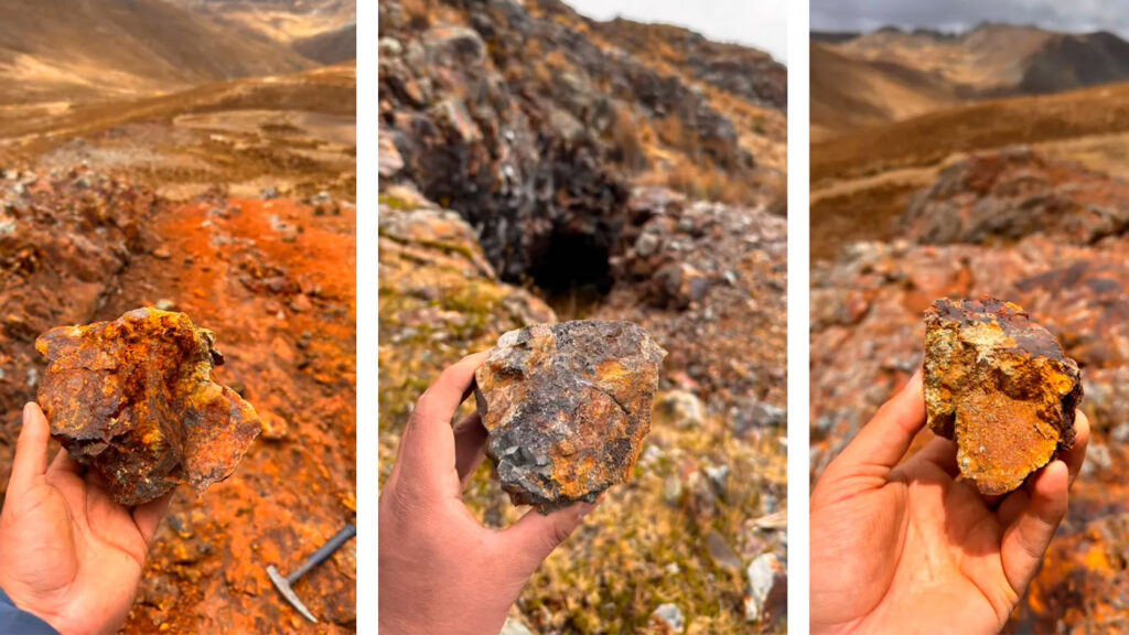
We specialize in:
• Geological and metallogenetic evaluations of mining concessions.
• Analysis of mineral potential for gold, copper, plata, lithium and other strategic minerals.
• Integration of geological maps, satellite images and historical exploration background.
• Geological interpretation assisted by artificial intelligence and generation of exploratory targets.
• Design and planning of field exploration campaigns.
• Structural mapping and analysis of hydrothermal alteration zones.
• Remote evaluation of mining concessions before making field investments.
• Preparation of technical reports and due diligence processes for investors and mining operators.
Combining advanced technology, artificial intelligence and geological expertise, Geocatmin.com helps reduce exploratory risk, optimize resources and concentrate efforts on areas with the greatest discovery potential.
Our mission is to convert large volumes of geological data into clear information, reliable and actionable that drives new mineral discoveries and generates value at every stage of exploration.